Satellite-based flood monitoring and early warning system (S-FMEWS)

Institute of Industrial Science, The University of Tokyo, Japan

About this site
This is system is an application of space based technology (SBT) with passive microwave sensors with SSMI, AMSR-E and AMSR2.
The benefit of this system are to develop satellite-based flood monitoring and early warning system (S-FMEWS) in global scale using freely available data, and to develop capacity of policy makers in those countries to apply the developed system in policy making.
News
Since June 14, 2022, floods in Pakistan have been observed as high anomaly in land surface water cover from AMSR-2. The floods were caused by heavier than usual monsoon rains and melting glaciers. Two screen shot comparison between August 28, 2021 and August 28, 2022.
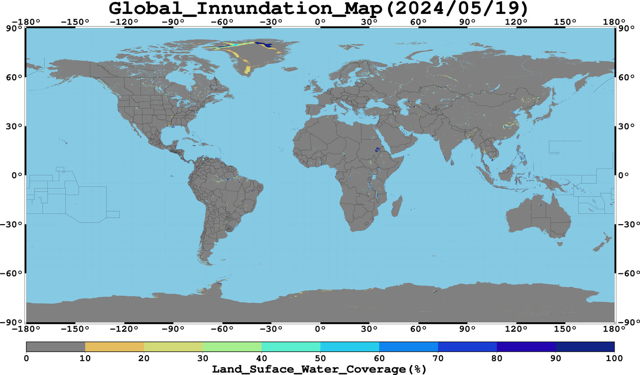
Latest flood index map (last one month movie) [Download GIS data]
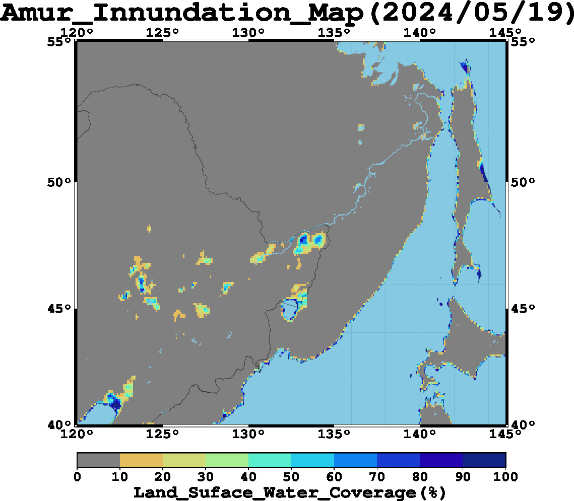
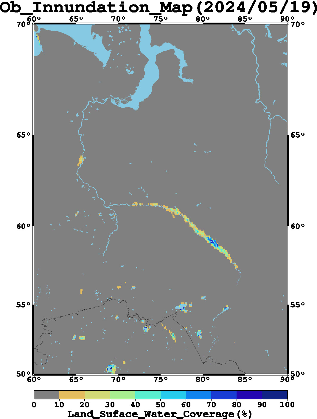
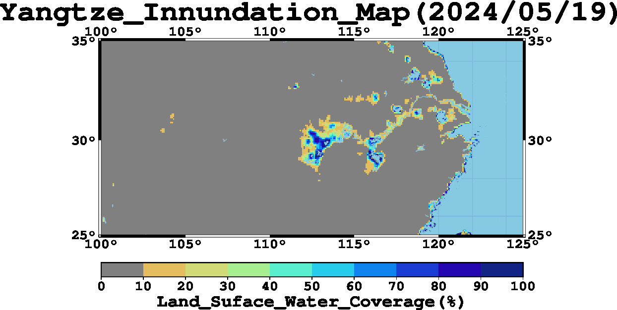
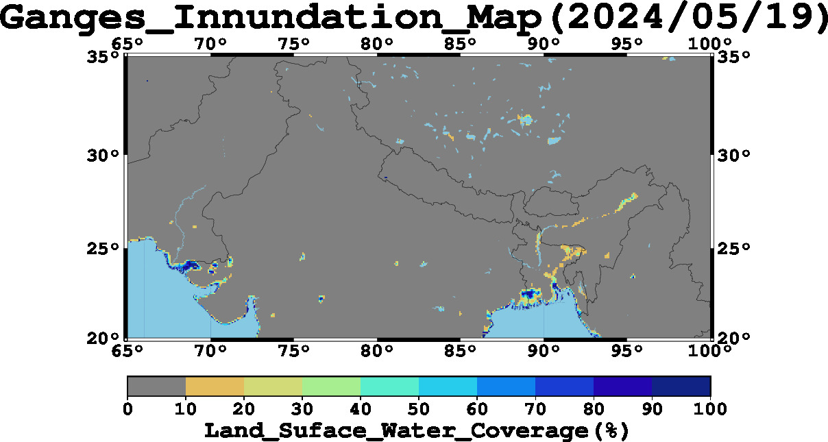
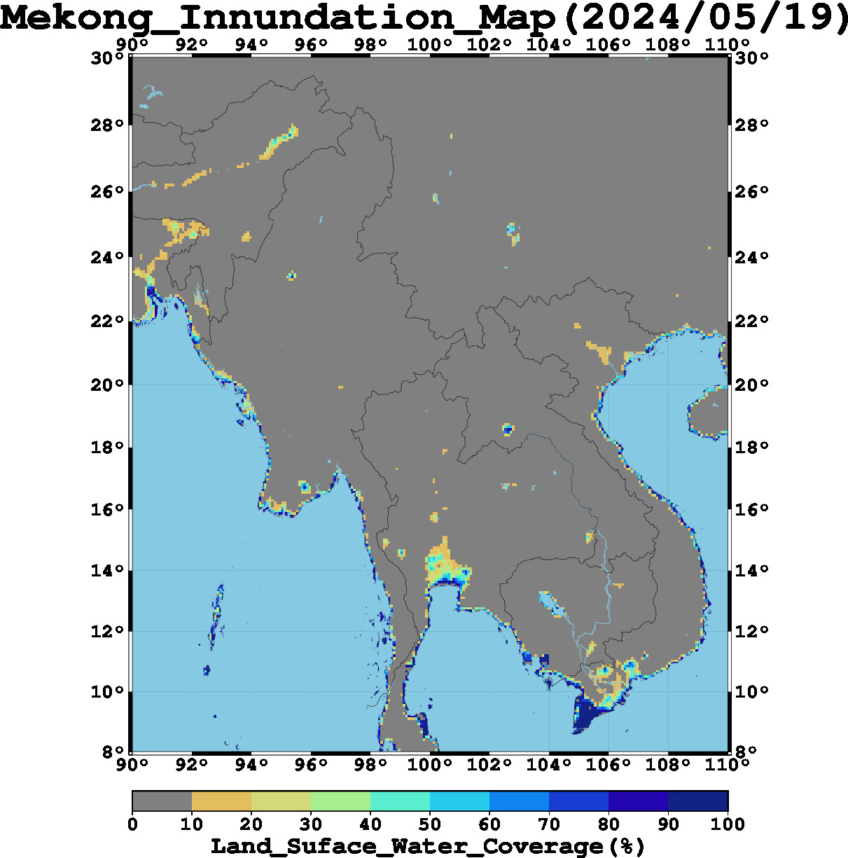
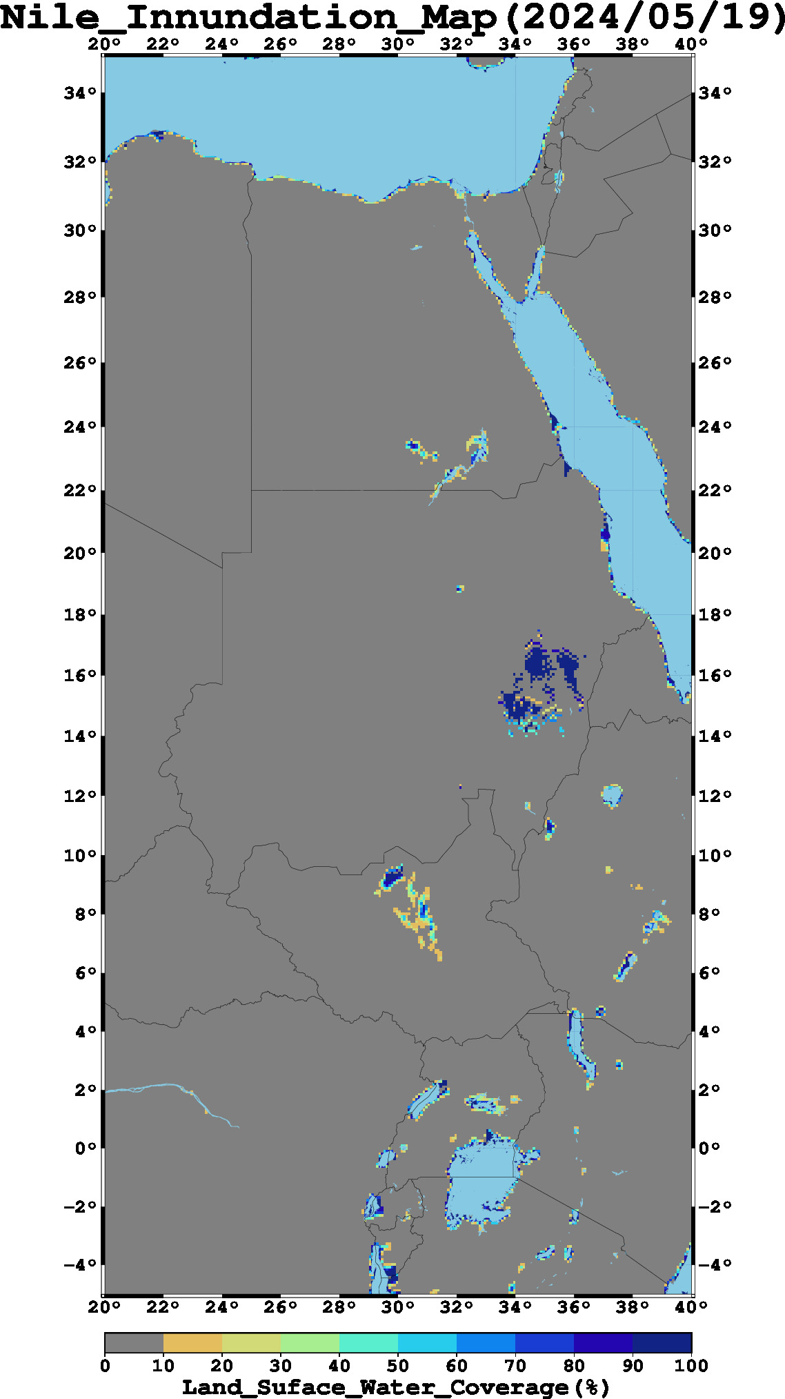
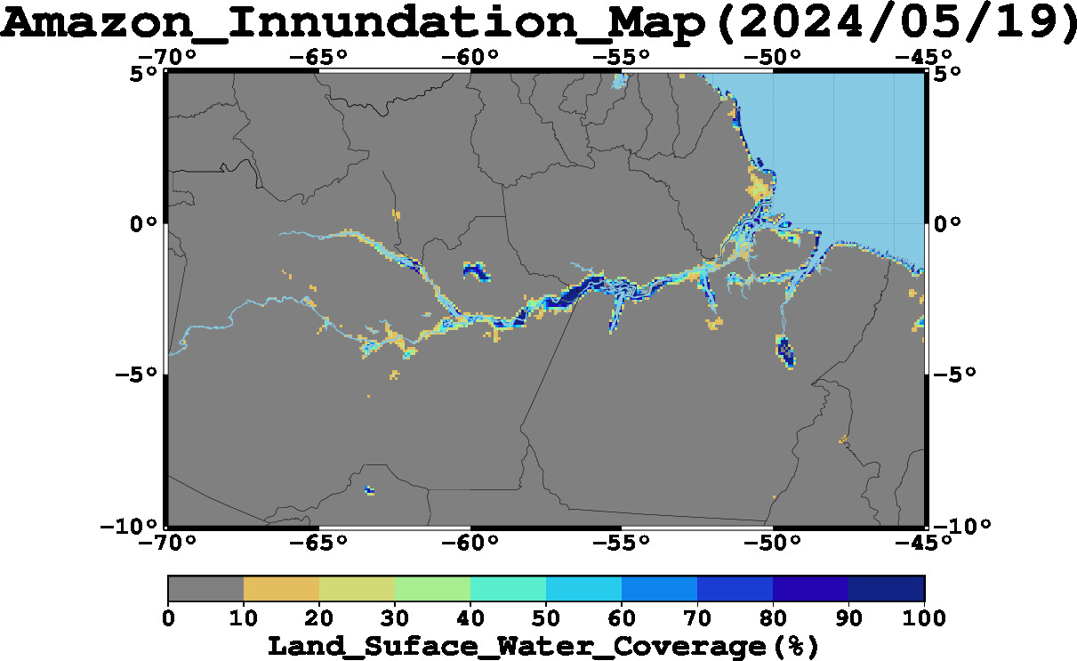
Regional near-real time flood maps (click image to view last 2 weeks movie)
Time-series flood trend graphs
Make plot at your area of interest
Related sites
References
  • Li Xi and Wataru Takeuchi, 2015. Estimation of land surface water coverage with PALSAR and AMSR-E for flood detection on global scale. International Conference on Remote Sensing (ISRS), Tainan, Taiwan, Apr. 24, 2015.
  • Li Xi and Wataru Takeuchi, 2014. Flood Analysis and Forecasting by Spatio-Temporal Data Mining based on historical satellite image database (Student paper award). 35th Asian conference on remote sensing (ACRS): Nay Phi Taw, Myanmar, Oct. 27, 2014.
  • Wataru Takeuchi and Louis Gonzalez, 2009. Blending MODIS and AMSR-E to predict daily land surface water coverage. Internaional Remote Sensing Symposium (ISRS), Busan, South Korea, Oct. 29, 2009.
Contacts

Satellite based flood monitoring and warly early warning system
Wataru Takeuchi, Ph. D.
Professor, Institute of Industrial Science, The University of Tokyo
E-mail: wataru@iis.u-tokyo.ac.jp


Copyright (C) 2015-2022 Takeuchi Laboratory, All rights reserved.
managed by Prof. Wataru Takeuchi